Century offers logging solutions designed for the realities of infrastructure projects — whether in a busy downtown core, an active construction site, or an environmentally sensitive zone.
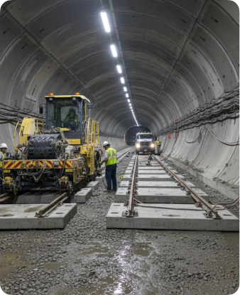
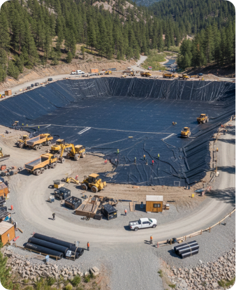
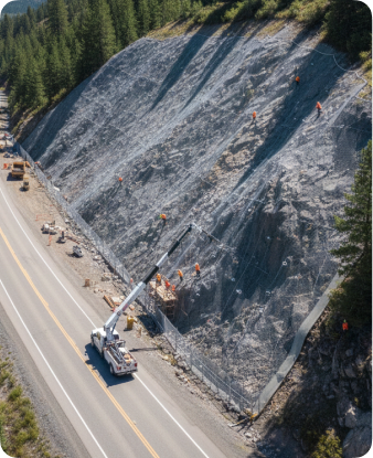
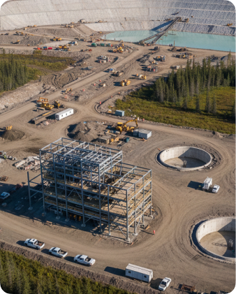
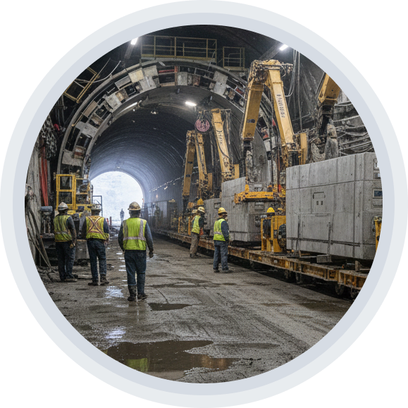
Major infrastructure demands certainty below the surface. From transit tunnels to dam foundations, Century provides quality, defensible borehole data to support geotechnical, hydrogeological, and structural assessments for critical projects.
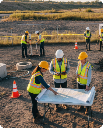
We work alongside engineers, environmental consultants, and project managers to ensure subsurface conditions are well understood — before design, construction, or remediation begins.
Proven track records
Light Rail Transit (LRT) & subway systems
Dam and reservoir construction
Highway, bridge, and slope stabilization
Tunnels, shafts, and deep excavation projects
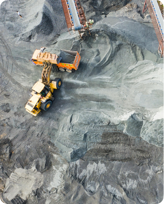
Industrial site developments and tailings facilities
Environmental site assessments and remediation planning
Our deployments
Century offers logging solutions designed for the realities of infrastructure projects — whether in a busy downtown core, an active construction site, or an environmentally sensitive zone.
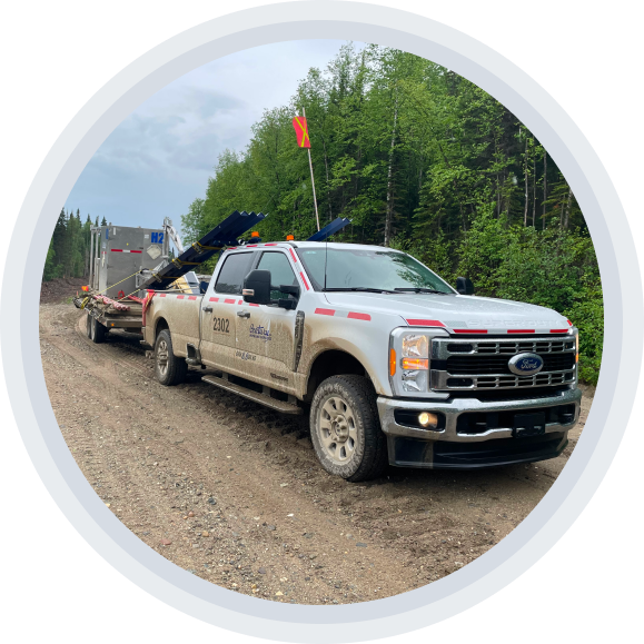
Truck based logging systems compatible with off drill rig service or standalone
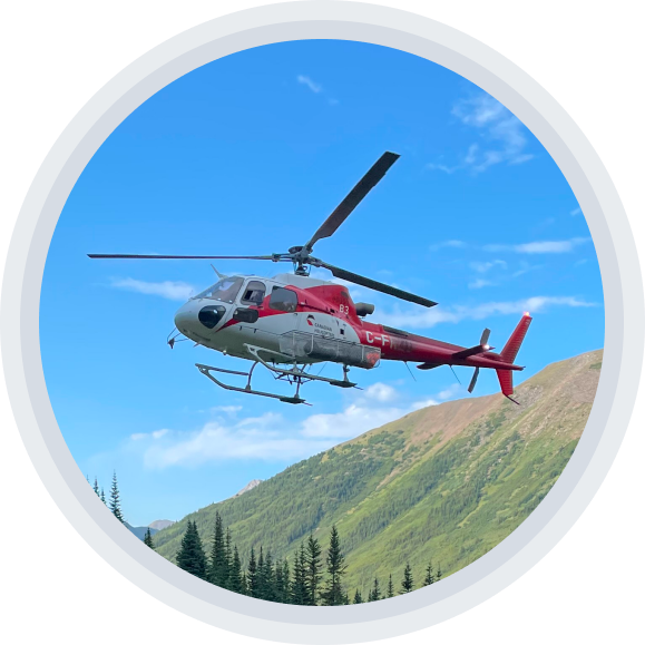
Portable, or otherwise fly-in options for challenging access conditions
Crews trained to work under site-specific safety protocols and regulatory frameworks
Truck based logging systems compatible with off drill rig service or standalone
Portable, or otherwise fly-in options for challenging access conditions
Crews trained to work under site-specific safety protocols and regulatory frameworks
Century is fully COR-certified with a documented, actively managed safety program. Our crews operate under strict health and safety compliance protocols, and we integrate seamlessly with multi-contractor sites, engineering consultants, and regulatory stakeholders.
Century is fully COR-certified with a documented, actively managed safety program. Our crews operate under strict health and safety compliance protocols, and we integrate seamlessly with multi-contractor sites, engineering consultants, and regulatory stakeholders.
Logging tools for
site investigation
Our geophysical logging systems provide reliable, accurate, and interpretable data to guide design and construction planning. We specialize in open-hole borehole logging for both cored and non-cored holes.
Natural Gamma
Lithological characterization, formation boundaries, and overburden depth
Resistivity / conductivity
Groundwater movement, soil/rock contrast, and contamination
Caliper
Borehole stability and formation collapse detection
Acoustic Televiewer
High-resolution imaging of fractures, bedding, and stress-related features
Flowmeter
Groundwater inflow, permeability zones, and hydraulic behavior mapping
Density
Bulk density and engineering strength proxies for rock classification
Sonic
P-wave travel time, compressional velocities, and mechanical property estimation
Deviation
Borehole trajectory and true depth correction
Optical Televiewer
True-color images for structural logging, rock mass classification, and QA of cored intervals